French Polynesia
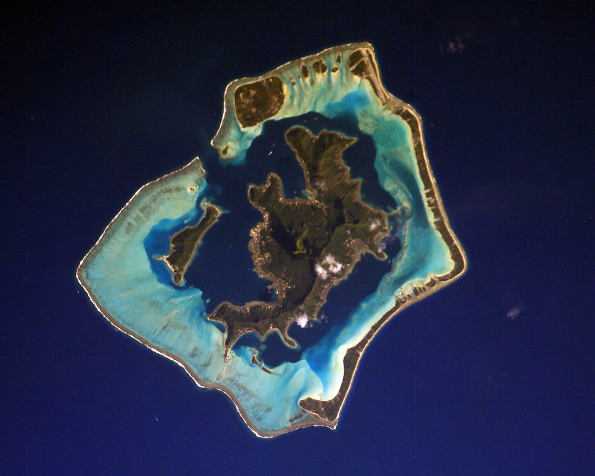
Bora Bora
Photo: NASA Johnson Space Center · Public domain (Wikimedia Commons)
Bora Bora is a French island group in the Leeward Islands, comprising the western part of the Society Islands of French Polynesia, an overseas collectivity of the French Republic in the South Pacific. Bora Bora has a total land area of 30.55 km2 (12 sq mi). The main island, located about 230 kilometres (125 nautical miles) northwest of Papeete, is surrounded by a lagoon and a barrier reef.
Excerpt from Wikipedia (CC BY-SA)
What to see in Bora Bora
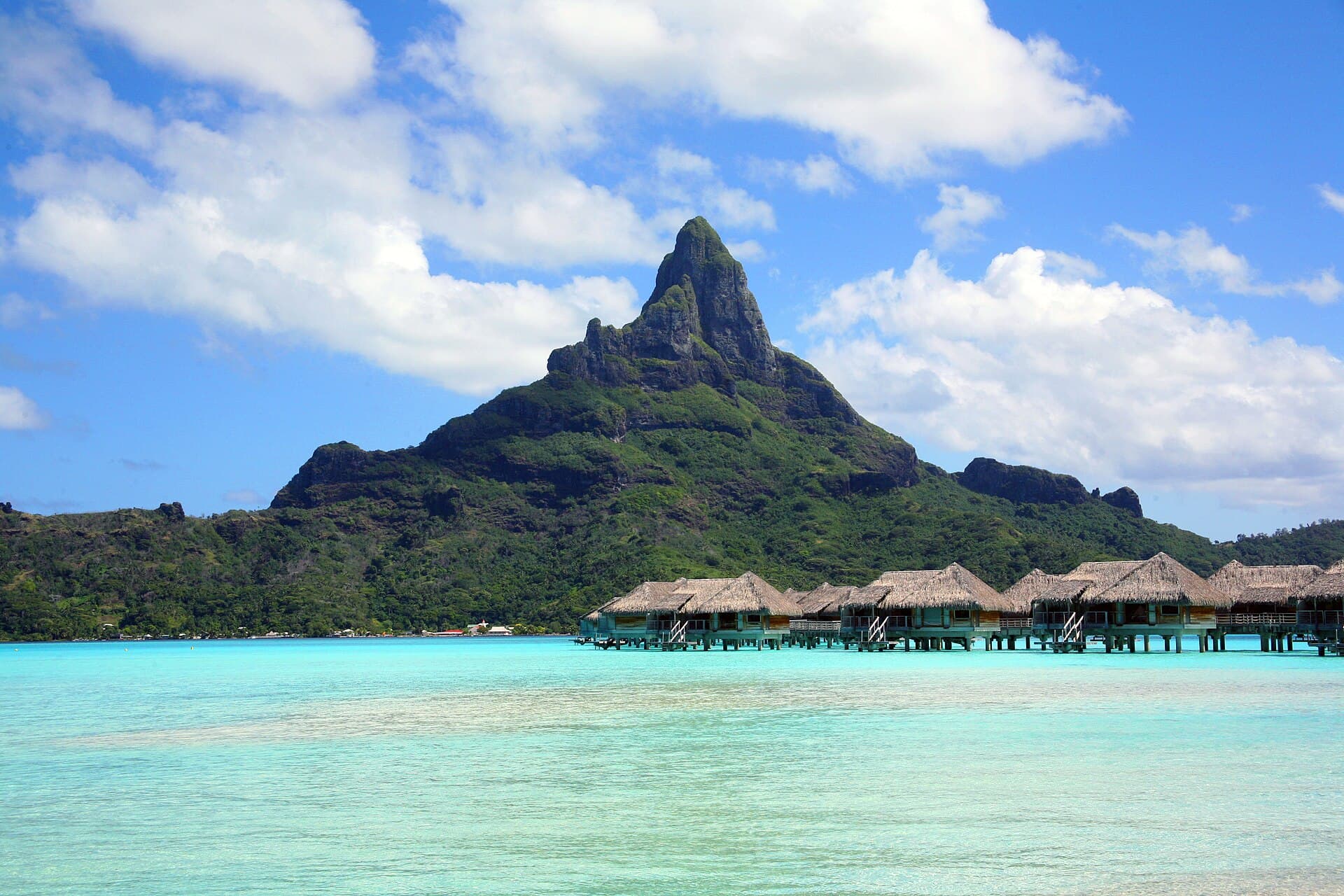
Mount Otemanu
Mount Otemanu is a mountain located in the South Pacific, on the island of Bora Bora. With an elevation of 727 metres (2,385 ft) above sea level, it is the highest point of the island. Mount…
Photo: Borabora.jpg: User:Taka-0905 derivative work: Alvaro qc (talk) · CC BY-SA 3.0 (Wikimedia Commons)
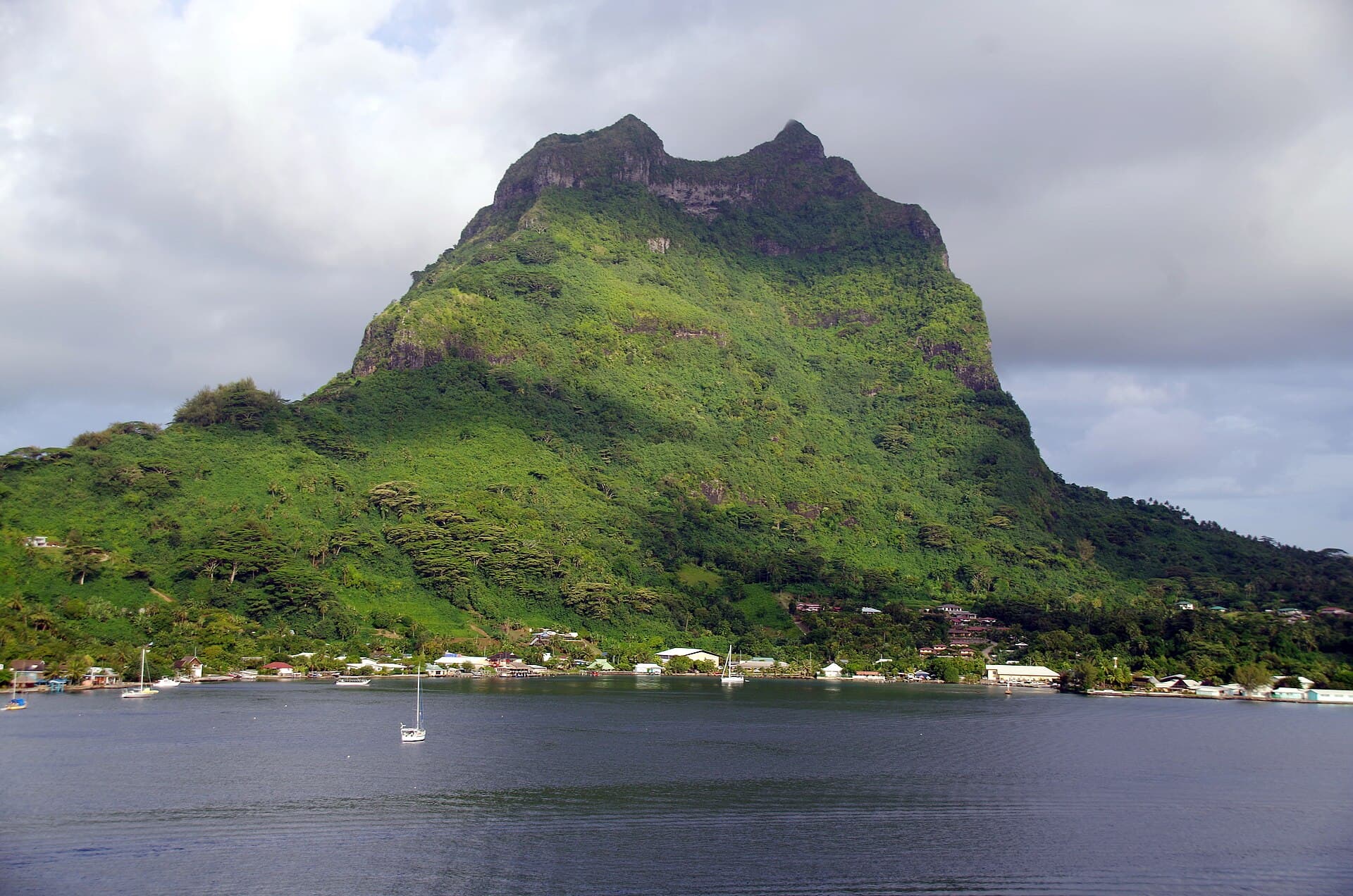
Mount Pahia
Mount Pahia is a mountain located in the South Pacific, on the island of Bora Bora. With an elevation of 661 metres (2,169 ft) above sea level, it is the second-highest point of the island, …
Photo: Balou46 · CC BY-SA 4.0 (Wikimedia Commons)
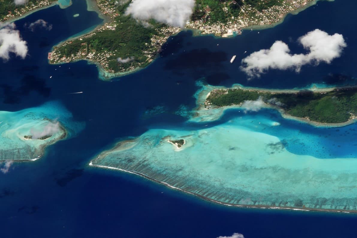
Motu Tapu (Bora Bora)
Motu Tapu, is a 0.026-square-kilometre (0.010 sq mi) private island in the lagoon of Bora Bora in French Polynesia.
Photo: Planet Labs, Inc · CC BY-SA 4.0 (Wikimedia Commons)
Build your Bora Bora itinerary
Days, map, costs and bookings in one place. The map still works once you land.