Vietnam
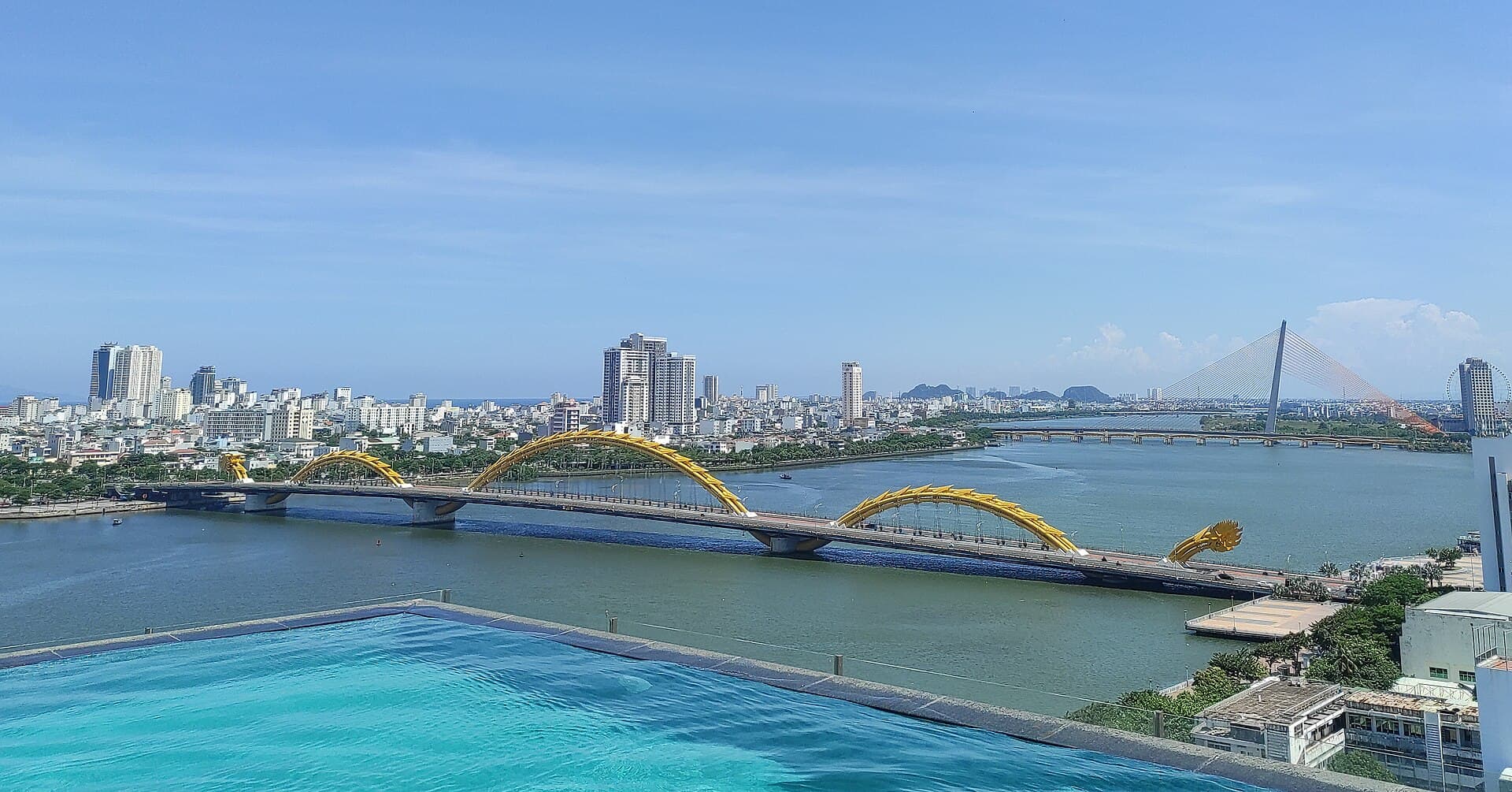
Da Nang
Photo: Somerset999 · CC BY-SA 4.0 (Wikimedia Commons)
Da Nang, is the fourth largest municipality in Vietnam by population and the second largest by geographical area. As one of the country's seven direct-controlled municipalities, it falls under the administration of the central government. Da Nang's port and its location on National Route 1 and the North–South Railway makes it a transport hub. APEC 2017 was hosted in Da Nang.
Excerpt from Wikipedia (CC BY-SA)
What to see in Da Nang
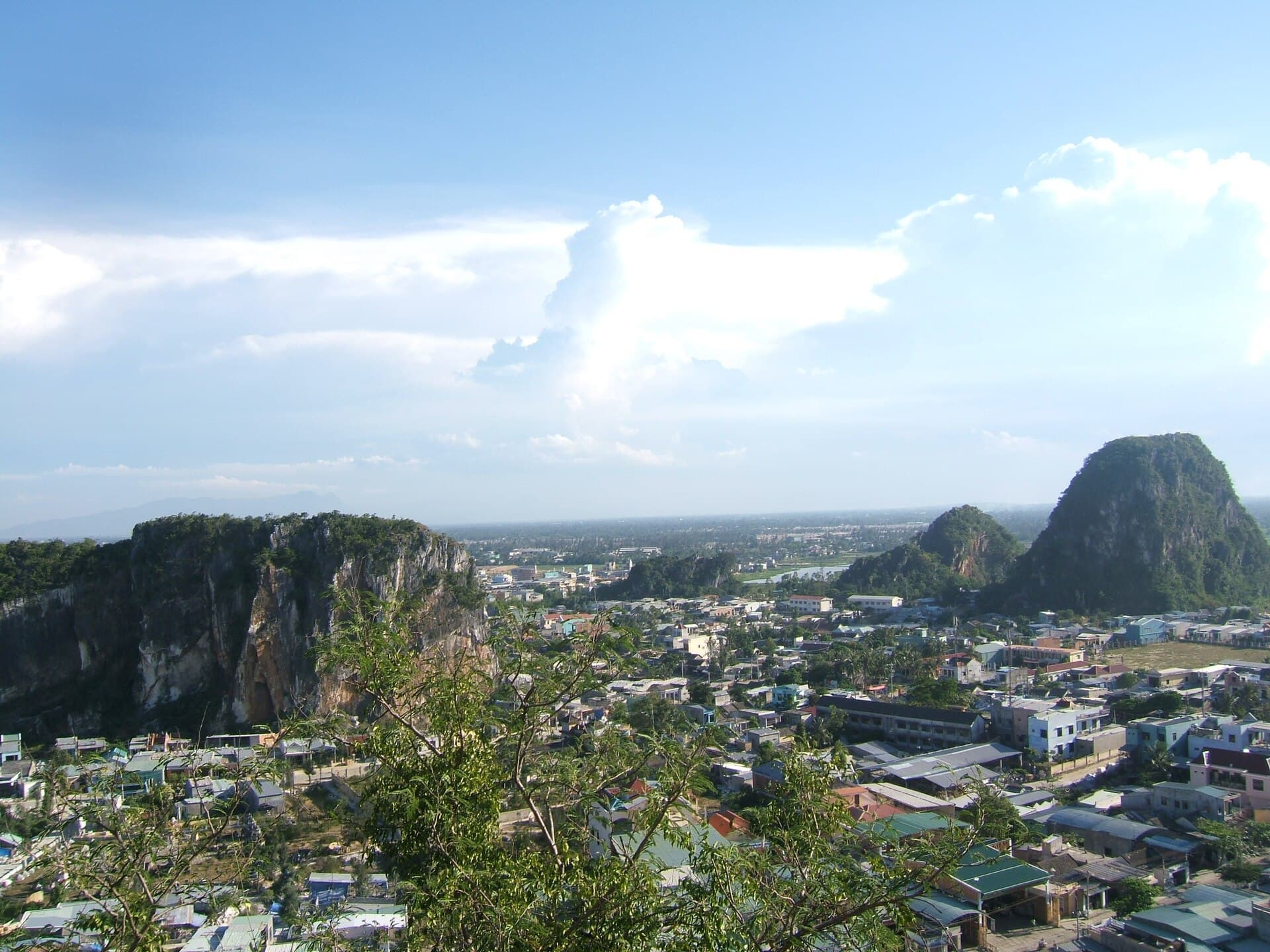
Ngũ Hành Sơn
The Ngũ Hành Sơn, also known in English as the Marble Mountains, are a cluster of five marble and limestone hills located in Ngũ Hành Sơn District, south of Da Nang city in Vietnam. The five…
Photo: Viethavvh at vi.wikipedia · Public domain (Wikimedia Commons)
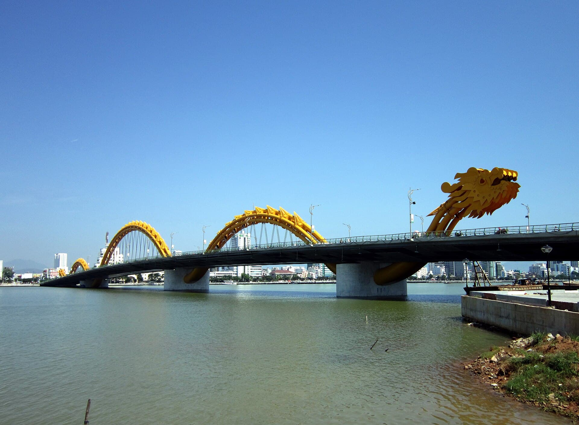
Dragon Bridge (Da Nang)
The Dragon Bridge is a bridge with an arch-beam-wire combination steel structure in the shape of a dragon crossing the River Hàn in Da Nang, Vietnam. It is the world's largest dragon-shaped …
Photo: Bùi Thụy Đào Nguyên · CC BY-SA 3.0 (Wikimedia Commons)
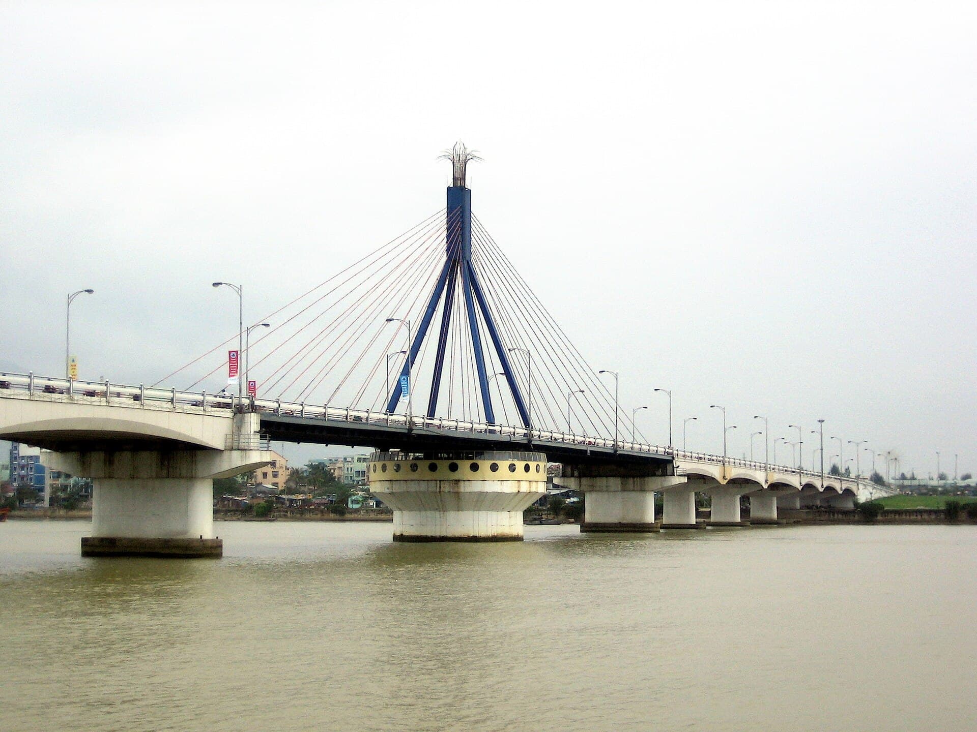
Hàn River Bridge
Hàn River bridge is a cable-stayed swing bridge in downtown Da Nang, Vietnam. Prior to the construction of the bridge, Da Nang was developed mainly on the west side (left bank) of the Hàn Ri…
Photo: Angcr · CC BY 3.0 (Wikimedia Commons)
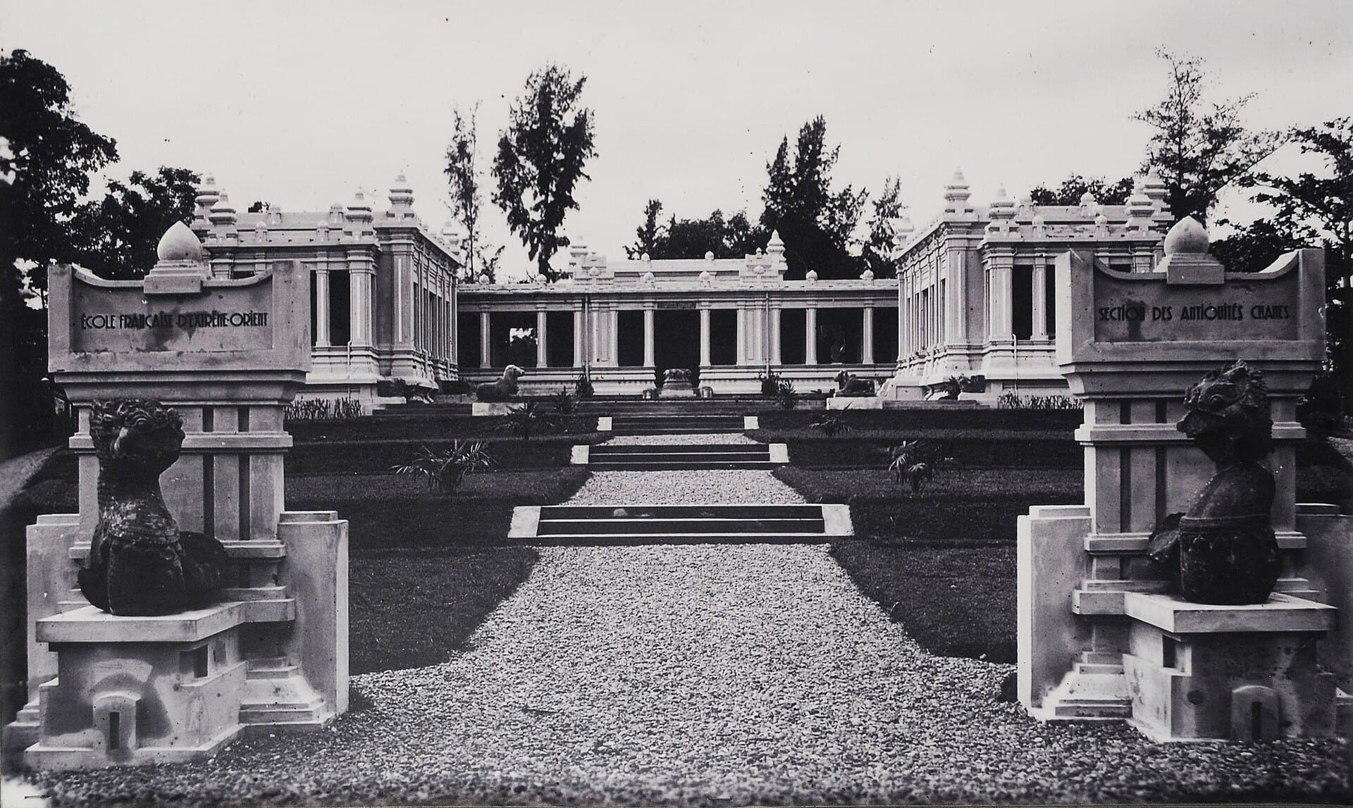
Museum of Cham Sculpture
The Museum of Cham Sculpture is a museum located in Hải Châu District, Đà Nẵng, central Vietnam, near the Han River.
Photo: Unknown authorUnknown author · Public domain (Wikimedia Commons)
Build your Da Nang itinerary
Days, map, costs and bookings in one place. The map still works once you land.